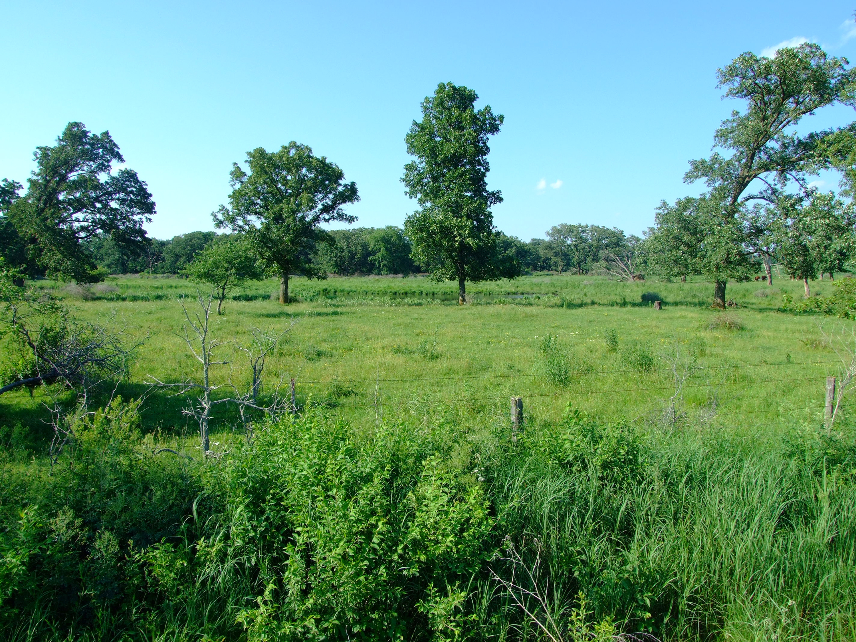
Sandwiched between the Paleozoic Plateau and Des Moines Lobe, the Iowan surface is an area of gently rolling topography, some of it littered with giant exposed boulders (glacial erratics) left over from the melting of the Wisconsinan glaciers. The overall land surface is best described as slightly inclined to gently rolling with long slopes, low relief, and open views to the horizon; and the hillslopes of this landform are multi-leveled or stepped surfaces (Prior 1991). Typically, well-drained, its two major rivers, the Wapsipinicon and the Cedar, flow from northwest to southeast, contributing to the overall alignment of hills and valleys in the same direction. Especially associated with the Wapsipinicon River are areas of poor drainage, including bogs. In the southern third of this region, slopes become steeper, especially adjacent to the large river valleys. Conspicuous elongate ridges and isolated elliptical shaped hills, known as paha, are characteristic features in this southern portion, as well.
A wide assortment of sediments provides the soil of this region. While various thickness of Pre-Illinoian glacial till is dominant, loess is also present, as is thin loam and sediments of mixed sizes. Typically, there is a concentration of pebbles and cobbles in a narrow zone between the till and its loess or loam soil cover. Loess, along with wind-blown sand, forms the top layer of the paha hills and ridges. Prairie was the dominant historic vegetative land-cover, with savannas and woodland in areas where fire had less access, like the top of paha ridges and bordering river valleys. Today row crops dominate this region, with some grassland and a bit of native prairie remaining, especially in areas with rock outcroppings or an abundance of exposed glacial boulders.
Several of the most important bird nesting areas and bird migration corridors of this region are part of the Wapsi River Bird Conservation Area (BCA), which extends from the southern border of Chickasaw County through portions of Bremer, Blackhawk, and Buchanan counties. Sweet Marsh Wildlife Area and the Wapsipinicon River Greenbelt are core areas of bird diversity and abundance in this BCA, and some of the largest breeding populations of Sandhill Cranes, as well Iowa Endangered Red-shouldered Hawks can be found in the marshes and bottomland forests of this area. All Iowa’s woodpeckers, vireos, thrushes, and sparrows nest in this region, as do all Iowa’s nesting flycatchers (except perhaps alder). Breeding Bird Atlas data indicate that 14 of Iowa’s warbler species nest within the Iowan Surface.